Using advanced technology to peer beneath the ground, archaeologists have mapped the ancient capital of the Mongolian Empire, vastly expanding our previous knowledge of the city, according to research published in the journal Antiquity.
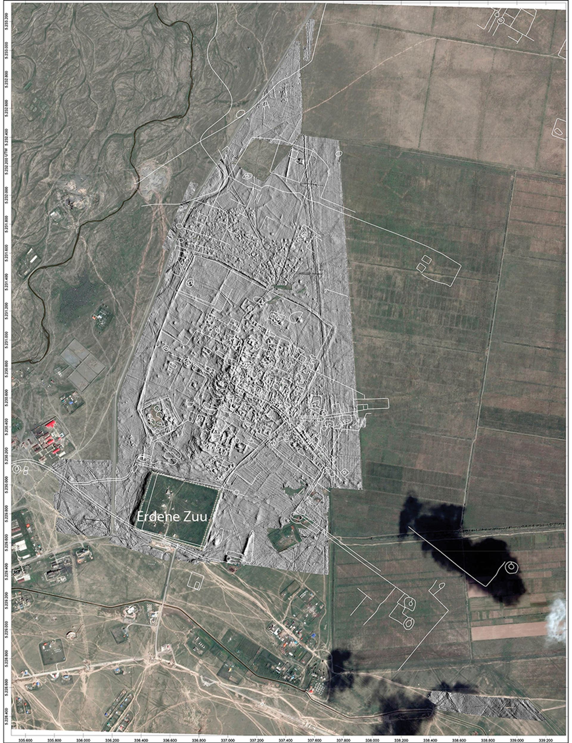
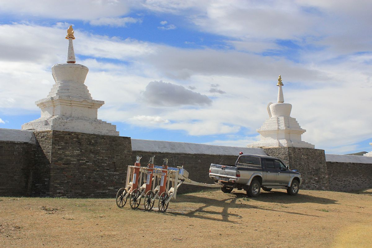
The city of Karakorum, 300km south-west of Ulaanbaatar, Mongolia, was rediscovered in 1889, but little archaeological work has been conducted there, leaving a great deal unknown about its development and layout. Now, researchers have surveyed 465 hectares of the site using a Superconducting Quantum Interface Device (or SQUID), which measured underground magnetic fields to create a map of the city’s extensive unexcavated remains.
“The great gain from our project is that we can now view the plan of the abandoned city in enormous detail, both above and below ground,” says Jan Bemmann, a professor in the Institute for Archaeology and Anthropology at the University of Bonn, Germany, and the research paper’s lead author. “Geophysical prospecting shows us where production sites are located, where larger brick-built buildings stood, where roads ran that are no longer visible in the terrain today, to name just a few examples.”

The new topographic map is based on high-resolution altitude data gathered with the SQUID system, alongside magnetic measurements. © The Author(s), 2021. Published by Cambridge University Press on behalf of Antiquity Publications Ltd.
Bemmann says that it is now possible to distinguish Karakorum’s different neighbourhoods, because of differences in the buildings constructed and how the space was organised. The team also discovered that 40% of the city was empty. Given that most people were nomadic, constructing permanent residences appears not to have been a priority, leaving labourers and craftspeople as perhaps the city’s only permanent residents. When mapping Karakorum’s city walls, they found that the city extended beyond them.
“The discovery that the city extends far beyond the city wall, which is more a demarcation than a fortification, give us a hint for a different understanding, a different concept of city,” Bemmann says. “Based on a renewed analysis of written sources, intensive surveys and data from remote sensing, we have come to the preliminary conclusion that the Mongolian khans built not only a capital city, but also a network of residences, supply settlements and production sites. Therefore, we are not only talking about an imperial city, but about an imperial valley.”
Genghis Khan established a camp on the spot that would become Karakorum in the Orkhon Valley in AD 1220. His son Ögödei began construction of the city and it was completed by Möngke Khan in the mid-13th century. Each khan—a title given to the ruler—would visit the city twice a year, and it was frequented by foreign diplomats and traders. Nonetheless, by the 15th century, Karakorum had fallen into disuse, and its location was eventually lost.
“The results of this mapping project will allow us to plan future excavations more precisely and to promote the protection of the Unesco World Heritage Site even more carefully and comprehensively,” Bemmann says.


