
Malta’s prehistoric temples may align with stars used by ancient seafarers for navigation, archaeologists have argued in newly published research. These temples—Unesco World Heritage Sites among them—were constructed across the archipelago between 3800BC and 2400BC, and their function has long remained a mystery.
“It is possible that the Maltese temples, in addition to other cosmological, religious or social roles that they may have had, could have also been used to train or teach navigation-by-the-stars to younger generations,” write Fabio Silva of Bournemouth University and fellow researcher Tore Lomsdalen, in their paper published in the journal Archaeological and Anthropological Sciences.
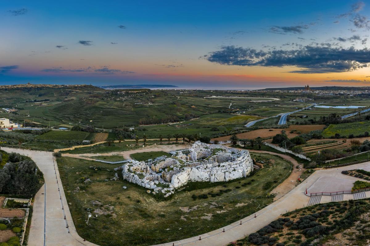
Nearly 6,000 years ago, Malta’s prehistoric builders designed the island’s megalithic temples to have straight entrance corridors connected to open courtyards. Experts have long wondered whether this layout held specific meaning to the ancient population, perhaps indicating how these buildings were used. However, no solution has so far been universally accepted.
Now, Silva and Lomsdalen have performed statistical analysis on new measurements taken at 32 structures to help explain the temples’ orientation. Significantly, they discovered that among the earliest temples—those from the Ġgantija phase, built between 3400BC and 3100BC—entrances align with the stars Hadar, Gacrux and Avior in the southern celestial hemisphere. This is unlikely to be a coincidence, they argue, because these stars were probably used for navigation.
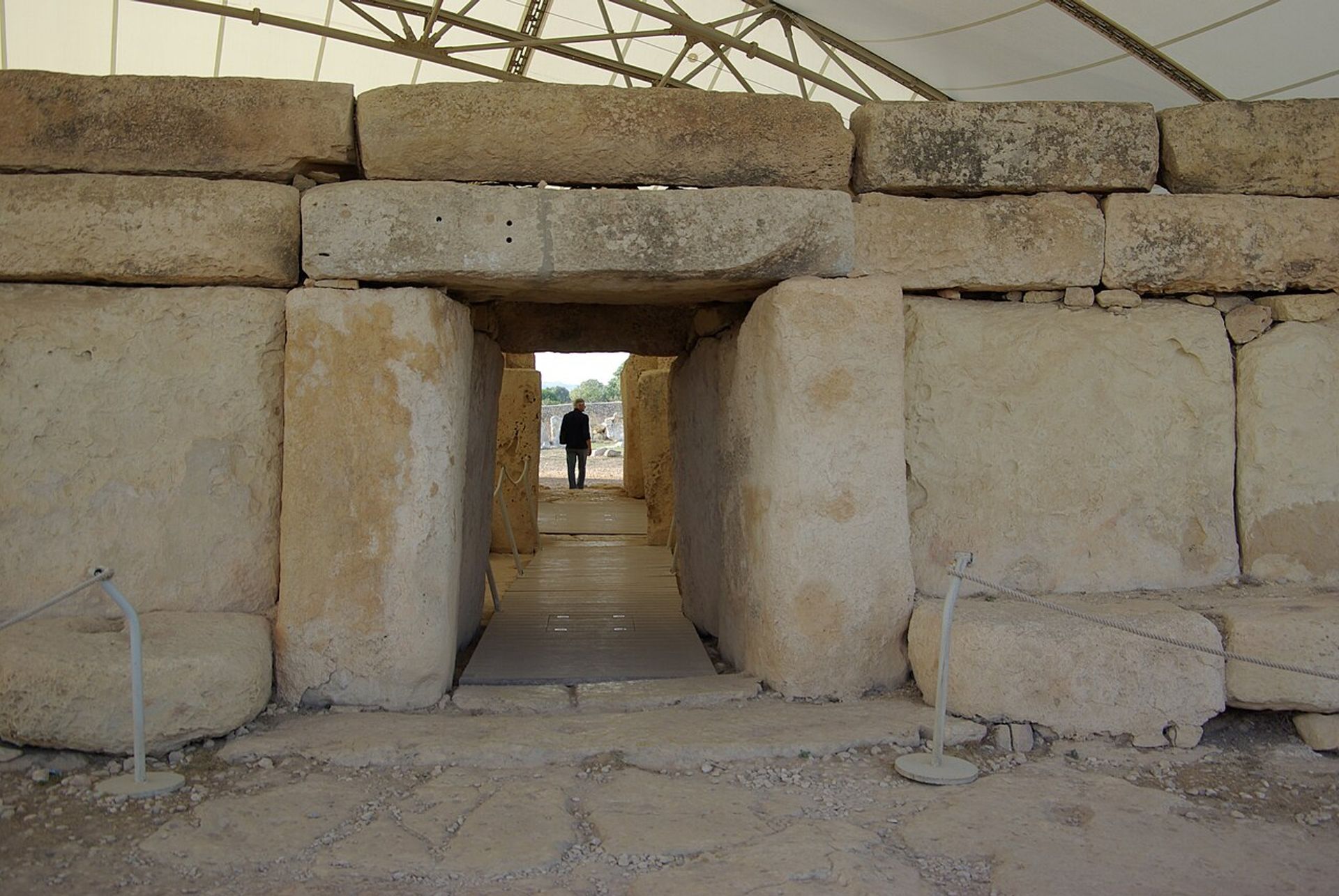
The entrance to the Ġgantija phase temple complex at Ħaġar Qim, Malta
Berthold Werne via Wikimedia Commons
Consequently, Silva and Lomsdalen suggest that the ancient Maltese used their temples to help young seafarers memorise these important stars, with the entrance ways framing this part of the night sky. It is even possible that the courtyards were flooded, reflecting the stars in the water. “The megalithic structure, set up in this way, would mirror the conditions of being in a boat in open sea at night, with nothing but the stars to help one navigate,” they write.
This training would have been particularly important when sailing between Malta and Sicily, a journey of nearly 100km across the open Mediterranean Sea. When heading north from Malta, Sicily’s Mount Etna and the Hyblaean Hills could have guided sailors.
“The return trip, on the other hand, would be much more hazardous since none of the Maltese islands can be seen from Sicily,” Silva and Lomsdalen write. “It is this return journey that could benefit from the visual aid to navigation that the stars could provide, and therefore a most important aspect to teach new navigators.”
For the moment, Silva and Lomsdalen’s hypothesis remains speculative. “Nevertheless,” they write, “we think its proposal casts new light, and raises new questions about these structures and broader prehistoric Maltese society”.